In a world where technology keeps on pushing the boundaries of what’s possible, drones, or UAVs (unmanned aerial vehicles), are now more than just cool gadgets. They are transforming the way we see cities, landscapes, and historical sites. Imagine being able to quickly map out complex environments in 3D without needing any ground crews or heavy equipment. That’s where SOAR, a new drone system, comes in.
A team of researchers from different institutions like Sun Yat-Sen University and the Hong Kong University of Science and Technology developed SOAR. They designed this system to quickly reconstruct complex environments. Moreover, they demonstrate how we can use UAVs equipped with cameras and LiDAR, a laser-based technology for measuring distances, to capture detailed, 3D images of large spaces. It’s not just another drone system; it is a new leap forward in how we reconstruct scenes.
What is SOAR?
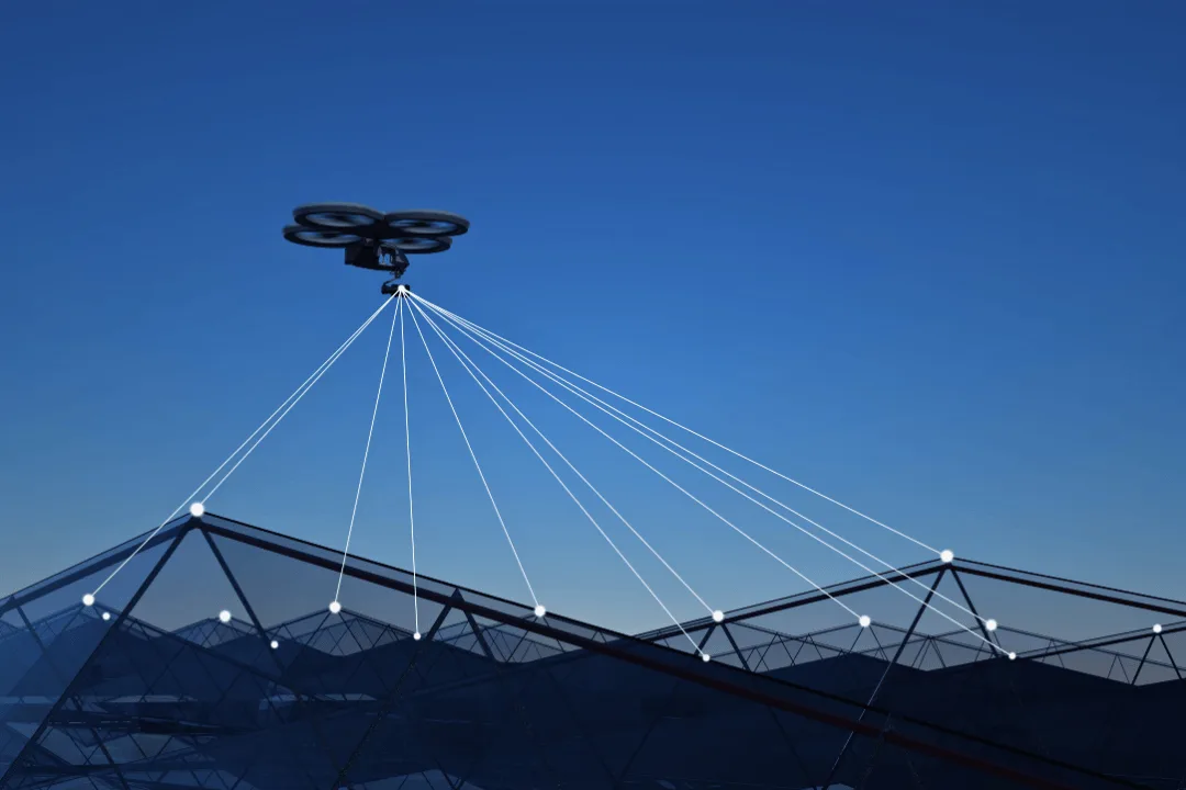
SOAR, which stands for Simultaneous Exploration and Photographing with Heterogeneous UAVs for Fast Autonomous Reconstruction. It uses two types of drones for 3D scene reconstruction. One of the drones has LiDAR to scan the surface quickly, and the other drones have cameras to take pictures from different angles.
SOAR is special because it uses a surface frontier-based exploration strategy. First, the LiDAR drone maps the environment’s structure by detecting unexplored areas. Then, the system creates viewpoints for the camera drones to cover every inch of the surface. The researchers refer to this method as incremental viewpoint generation, which reduces the number of drone flights required and optimizes the process.
Why Is This Important?
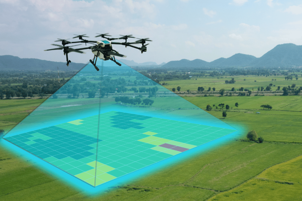
Previously, 3D reconstruction using drones required extensive planning and could only scan a limited portion of the scene. SOAR solves these problems by quickly mapping the scene and optimizing drone paths in real time. This is important for things like urban planning, saving historical sites, and disaster management.
For example, after an earthquake, it’s crucial to quickly map the damaged areas. First responders can quickly and accurately create 3D models using SOAR, enabling them to pinpoint areas of danger or areas in need of assistance.
Similarly, recent advancements in autonomous drone technology, such as a low-cost vision system for collision avoidance, further contribute to the growing potential of UAV applications, ensuring safer and more efficient drone operations in complex environments like urban areas and indoor spaces.
Dr. Mingjie Zhang, who leads the project, says: “Using many drones at the same time, SOAR increases the speed and accuracy of scene reconstruction, making it the best solution for situations where time is important.”
A step up from traditional methods
SOAR is different from old methods. Before, drones needed prior information, like satellite images, to make a plan, which takes a lot of time and money. On the other hand, model-free methods allow drones to explore without a plan, but they miss important details because they can only use the data they collect in real time.
SOAR combines these two approaches. The LiDAR drone collects general scene data, while the camera drones take high-resolution images. This speeds up the process and improves the quality of the 3D models. In tests, SOAR did better than traditional methods, creating better reconstructions in less time.
While SOAR might seem complicated, the concept is simple: do more in less time with better results. Here’s how it works: The LiDAR drone scans the environment to find unexplored areas. This allows the system to focus on parts that need attention, saving time on unnecessary flights. Once the LiDAR drone finds unexplored areas, the camera drones go there. SOAR assigns tasks to the drones using an algorithm known as Consistent-MDMTSP, ensuring they don’t visit the same location twice. This saves time and makes sure drones are working efficiently.
SOAR’s incremental viewpoint generation ensures that there are no missed spots. The drones focus on key points and adjust their paths in real time, allowing them to cover more ground quickly. They tested this system on famous landmarks like the Sydney Opera House and Pisa Cathedral. The tests showed that SOAR was faster and more accurate than older methods.
Dr. Chen Feng, a co-author of the study, explains: “We wanted a system that works efficiently in real-world environments where time and precision are critical. “SOAR achieves that goal by optimizing both the exploration and photographing phases.”
Though SOAR shows promise in simulations, there are still challenges to testing it in real-world conditions, like communication delays and weather. The team remains optimistic about the potential applications of SOAR in various industries, such as construction and emergency response.
In the future, SOAR drones might fly over construction sites to monitor progress or map out hard-to-reach places after disasters. As the technology gets better, the possibilities are endless.
As Dr. Shaojie Shen, the lead researcher, says, “With SOAR, we’re not just thinking about the future—we’re building it.”


